
Scaling Evaporation Monitoring Amid Global Water Scarcity
New monitoring partnerships and record reservoir lows underscore the urgent need for accurate evaporation data and effective mitigation strategies.
By Editorial Team ·
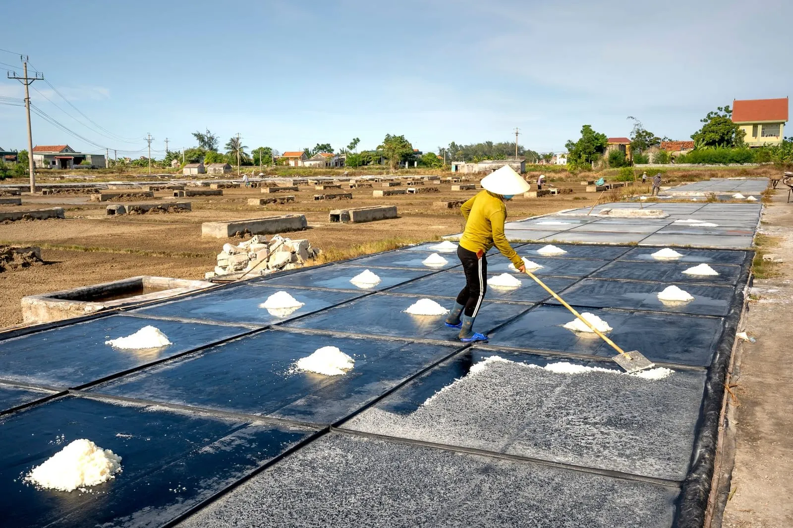
The intensifying cycle of record-low reservoir levels and expanding drought restrictions highlights an urgent need for precision in measuring how much water is lost to the atmosphere.
This week in water
- DRI and OpenET are collaborating with the Bureau of Reclamation and the Upper Colorado River Commission to increase the scope of evaporation monitoring along the Colorado River (Maven’s Notebook).
- Colorado River reservoirs have reached record lows, leading to threats of significant water cuts from the Trump administration (CBS News).
- Forecasts for Washington’s Columbia Basin indicate long-term water shortages and recurring droughts (NWPB).
- Conflict-related strikes in southern Iran have reportedly crippled the water supply in areas already suffering from drought (Yahoo).
- The municipality of La Veta has implemented extreme drought restrictions as water reserves have dropped below a 150-day supply (Colorado Public Radio).
- Farmers in Wyoming are facing difficult decisions and leaving fields unplanted due to the instability of the shrinking water supply (The Cool Down).
- Recent reports emphasize that many current water restrictions are driven by “invisible” droughts occurring beneath the surface (Greenfield Recorder).
- Floodwaters reaching reservoirs in Corpus Christi have provided a temporary reprieve for the local water crisis (The Texas Tribune).
The data gap in water management
The recent partnership between DRI, OpenET, and federal agencies to expand monitoring on the Colorado River is a direct response to a fundamental problem in hydrological management: you cannot manage what you cannot measure. As reservoirs hit record lows (CBS News), the distinction between “lost” water and “used” water becomes a matter of intense legal and political contention.
A significant portion of surface water loss is not due to consumption or diversion, but to evaporation driven by solar radiation and wind. When reservoirs like those in the Colorado River basin or the Columbia Basin (NWPB) face depletion, the rate at which water escapes the surface determines how long a community can survive on its remaining reserves. In La Veta, where reserves are measured in mere days (Colorado Public Radio), every percentage point of surface loss represents a direct threat to municipal viability.
Effective management requires moving beyond simple pan evaporation measurements toward high-resolution, spatially explicit data. Traditional methods often struggle to capture the nuances of large-scale water bodies, where local wind patterns and varying surface areas significantly alter the mass-transfer method of moisture exchange. The move toward expanded monitoring is an attempt to close this gap, providing the empirical basis needed for the “major cuts” being discussed by policymakers (CBS News).
Moving from monitoring to mitigation
While increased monitoring provides the data necessary to understand the scale of the problem, it does not inherently stop the loss. As drought conditions move from the surface to “below the surface” (Greenfield Recorder), the pressure to implement methods to reduce evaporation increases. The news from Wyoming, where farmers are gambling on shrinking supplies (The Cool Down), suggests that without intervention, the economic cost of evaporation will be felt in food security and land utility.
There are several technical pathways for reducing these losses, each with different trade-offs in terms of cost, scalability, and efficacy:
- Surface Coverage via Modular Systems: These involve covering the water with buoyant objects. Floating modular covers such as HDPE tiles or spheres are common. In field studies, these typically achieve 65–80% reduction (Mady et al. 2021; Lehmann et al. 2019). High-performance options like the Rhombo Hexoshield® can reach up to 98% reduction (AWTT).
- Continuous Membranes: Large-scale geomembranes can create a near-total seal, potentially offering 95%+ reduction (Yao et al. 2021), though they require complex anchoring and maintenance to handle rain and gas accumulation.
- Biological and Natural Barriers: Using species like duckweed or azolla can provide coverage, though these are often limited by regional climate and ecological constraints.
- Chemical Interventions: The application of chemical monolayers can reduce evaporation by 20–40% (Craig et al. 2005), but these require frequent reapplication and can be sensitive to wind and temperature.
The challenge for agencies like the Bureau of Reclamation is determining which of these methods is most appropriate for different types of water infrastructure. For a massive, moving river system, full coverage is impractical; however, for the static reservoirs and storage basins that provide the “reserve” for towns like La Veta, covering the water may be the most cost-effective way to extend the life of the supply.
The physics of the “invisible” drought
The “drought you can’t see” (Greenfield Recorder) refers to the loss of water that occurs without a visible change in precipitation or obvious human consumption. This is essentially the conversion of liquid water into vapor, a process governed by the energy budget method and the Penman-Monteith equation.
To understand why evaporation accelerates during a drought, one must look at the relationship between relative humidity and the vapor pressure deficit. As temperatures rise and the air becomes drier, the “pull” exerted by the atmosphere on the water surface increases. This is compounded by wind, which strips away the saturated boundary layer at the water’s surface, a process often described in terms of aerodynamic resistance.
When a reservoir is exposed to high winds and intense solar radiation, the latent heat flux increases, effectively “pumping” water out of the basin. This is why the arrival of floodwaters in Corpus Christi (The Texas Tribune) provides such significant relief; it doesn’t just add volume, it temporarily resets the balance against the evaporative demand of the atmosphere.
Integrating data and technology
The future of water security in arid regions likely lies in the integration of the two trends seen this week: better data and better physical barriers. As monitoring becomes more precise, it will allow for “smart” mitigation. For instance, if real-time data indicates a period of extreme wind and low humidity, managers might prioritize the deployment of modular covers or adjust storage management protocols to minimize surface exposure.
The economic reality is that water is becoming a more precious commodity in both agricultural and municipal sectors. Whether it is a farmer in Wyoming deciding whether to plant (The Cool Down) or a federal agency deciding on water cuts in the Colorado River (CBS News), the ability to quantify and subsequently reduce evaporation is no longer just a scientific interest—it is a fundamental requirement for survival in a warming climate.
Frequently asked questions
- How much evaporation can modular floating covers reduce?
- Modular covers typically achieve 65–80% reduction in field studies, though specific products like the Rhombo Hexoshield can reduce evaporation by up to 98% (AWTT).
- Why is monitoring evaporation important for reservoir management?
- Accurate monitoring allows managers to distinguish between inflow shortages and losses due to evaporation, which is critical when water reserves reach critical levels.